
New feature of Google Maps will soon show COVID-19 outbreaks in your area
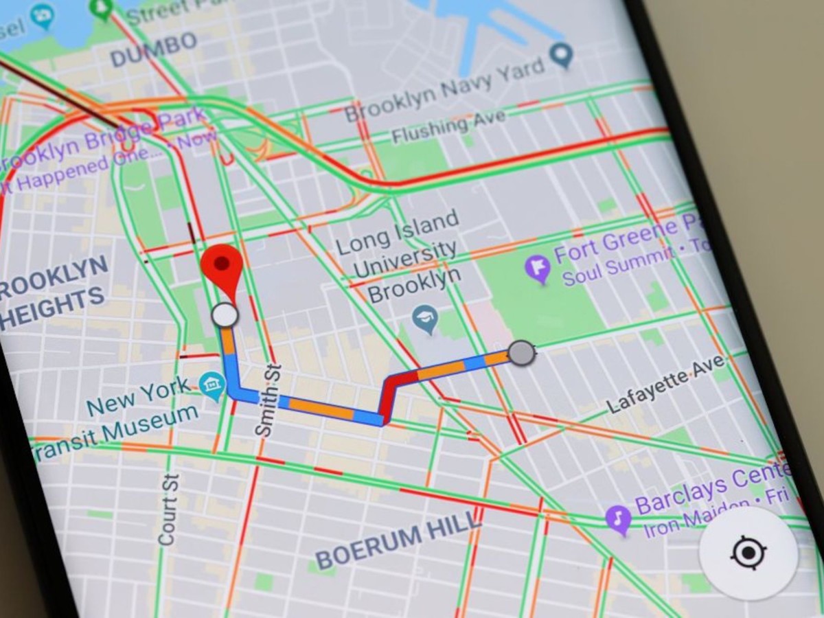
Google Maps has now introduced a new feature of showing a seven-day average of new covid-19 cases per 100,000 people for the area of the map.
Google will also add color coding feature which will help the users to distinguish the density of new cases in the area.
 With the cases of covid-19 not slowing down, technology giant Google on Wednesday announced a new feature for Google Maps.
Also Read | Bharat Biotech to begin Phase-3 human trials of COVAXIN in Punjab
The latest feature in the Google Maps will be known as 'COVID layer' and according to Google, it will show the users important information like number of covid-19 cases in the area which will help the users to take decisions of whether to go to that particular area or not.
 With the pandemic showing no signs of being contained, Google will roll out the new feature in its latest update this week on both Android and iOS this week.
Google in its blog post has said that the users can see the data in Google Maps after opening and tapping on the layers button on the top right hand corner of the screen and clicking on the “covid-19 info".
 This will then show a seven-day average of new COVID cases per 100,000 people for the area of the map you’re looking at, and a label that indicates whether the cases are trending up or down.
Also Read | Sikh girl kidnapped by Muslim men in Pakistan's Panja Saheb
Google will also add color coding feature which will help the users to distinguish the density of new cases in the area. Trending case data is visible at the country level for all 220 countries and territories that Google Maps supports, along with state or province, county, and city-level data where available.
 Google will collect the data for the covid-19 cases in a particular area from different sources which will include Johns Hopkins, the New York Times, and Wikipedia.
These sources get data from public health organizations like the World Health Organization, government health ministries, along with state and local health agencies and hospitals.
-PTC News
